
ForestTech & Environmental Intelligence
Empowering Sustainable Land and Agricultural Management through Smart Technologies.
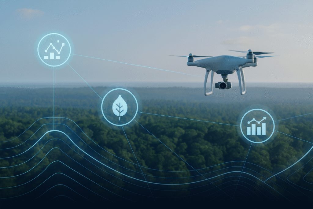
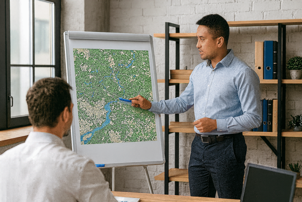
ATW integrates cutting-edge drone, IoT, and data technologies to transform forest, plantation, and agricultural management. Our solutions support government agencies, plantation operators, and environmental sectors in achieving smarter, data-driven decisions for sustainability, productivity, and safety.
Drone Survey & Aerial Mapping.
Precision insights from above for better land and forest management.
We provide advanced drone-based mapping and imaging to deliver accurate, high-resolution data for environmental, forestry, and agricultural applications.
- High-resolution mapping for plantations, forests, and rural areas.
- Topographic and vegetation health monitoring.
- 3D terrain modelling and canopy density analysis.
- Orthomosaic maps and volumetric calculations for planning & monitoring.
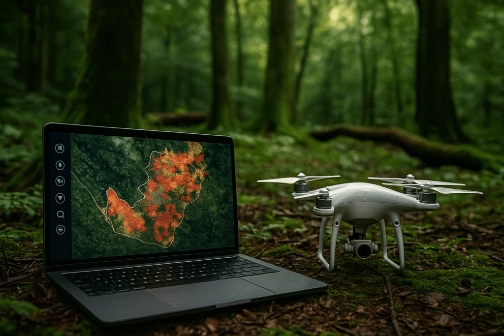
Environmental & Forestry Data Analytics.
AI-powered insights for sustainable environmental decisions.
Transform raw imagery and data into actionable insights using artificial intelligence and advanced analytics. Ideal for policymakers, estate managers, and conservation planners.
- Satellite and drone image analysis for deforestation, disease, or soil degradation detection.
- Predictive analytics for forest fire risks and biodiversity tracking.
- Data dashboards to support estate planning and environmental compliance.
- Crop yield optimisation through integrated data modelling.
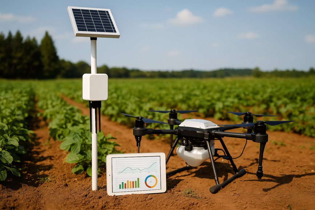
Smart Agriculture Solutions.
Automating agriculture through connected intelligence.
We deploy IoT sensors and automation systems that empower farmers and estate operators to monitor, predict, and optimise field operations with real-time precision.
- IoT-based sensors for soil moisture, temperature, and nutrient levels.
- Automated irrigation and fertilisation systems.
- Integration with drone spraying and inspection operations.
- Real-time mobile dashboard for farm analytics and decision-making.
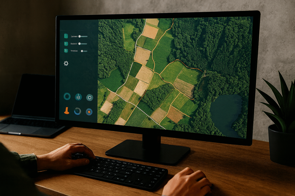
GIS & Spatial Data Management.
Centralised systems for smarter land management.
Efficiently manage spatial and environmental data with secure cloud-based GIS solutions that enhance collaboration and accuracy in decision-making.
- Centralised data management for land use and resource mapping.
- GIS integration with cloud platforms for remote access and collaboration.
- 3D spatial visualisation and real-time mapping solutions.
- Real-time mobile dashboard for farm analytics and decision-making.
Consultancy & Training.
Building local capacity for the future of smart agriculture.
We help organisations transition to sustainable, technology-enabled operations through tailored consultation, strategic planning, and hands-on technical training.
- Advisory on adopting technology-driven agriculture and forestry solutions.
- Training for local teams in drone operations, IoT management, and data analytics.
- Certification and capacity-building programs for sustainability initiatives.
- Strategic roadmaps for digital transformation in agro and environmental sectors.
Our Promise.
Trusted Solutions. Lasting Impact.
We are more than a contractor and supplier, we are a partner committed to delivering solutions that empower organisations, strengthen performance, and create long-term value.